
Journal of Geo-information Science >
Exploring the Value and Practical Significance for Cartography About “HaiGuo Tuzhi”
Received date: 2015-04-10
Request revised date: 2015-05-08
Online published: 2016-01-10
Copyright
“HaiGou Tuzhi” is an atlas of the world, which was edited by Wei Yuan, who complied with the great trust of Lin Zexu. Based on the “four continents annals" created by Lin Zexu, “HaiGouTuzhi” was then published three times in a row between 1842 and 1852. Some mainstream scholars in China laugh at “it's childish”, and China's imperial palace put it on the shelf. However, it was spread to Japan and the book sold quickly, which effectively promoted the reform revolution of Japan started in the middle of the 19th century. Until the late 20th century, China's implementation of reform and opening launched the research boom of "HaiGou Tuzhi" by historian, geographer and cartographer, and they speak highly of it as "the most comprehensive magnum opus on the world for geography and history", "the first world atlas compiled in the near-modern of China", and so on. Firstly, this paper analyzed "HaiGuo Tuzhi" with its 100 volumes, which including 75 maps and 880,000 texts divided into 10 parts, including chapters of "The preface", "Coastal defense", "Maps", "Annals", "Religious calendar", "Countries in general", "Coastal defense in general", "Foreign affairs record set", "Weapons and equipment", and "The earth’s astronomical theory". In the meantime, this research outlines the multi-angle studies and comments on "HaiGuo Tuzhi" from China and Japan, mainly discusses the values of cartography such as "designing idea”, “content arrangement”, ”compiling technology" and so on; as well as introduces the editing strategy of "Learning from Foreigners to Competing Foreigners", and successful experiences and focuses on distinguishing data authenticity and the comprehensive genre in editing “HaiGuo Tuzhi”. All of these have important practical significance. At last, we suggest that today's cartographer should try to absorb the cartography “nutrition” from "HaiGuo Tuzhi" and positively response to the new requirements of the era of deepening reform and opening up, to compile and publish a new comprehensive atlas of the world with "real data, large-scale and integrated information, and provide services to people" as soon as possible.
Key words: HaiGuo Tuzhi; evolution map; global map; continents map; areal Map; annals
LIANG Qizhang , LIANG Xun . Exploring the Value and Practical Significance for Cartography About “HaiGuo Tuzhi”[J]. Journal of Geo-information Science, 2016 , 18(1) : 49 -56 . DOI: 10.3724/SP.J.1047.2016.00049
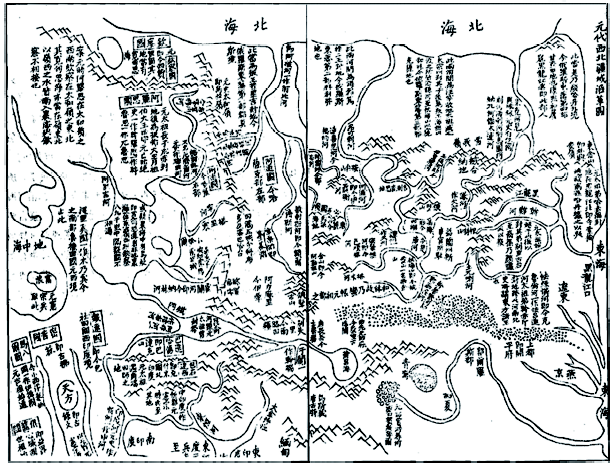
Fig. 1 The evolution map of China's Yuan dynasty in the northwest territory图1 中国元代西域疆域沿革图 |
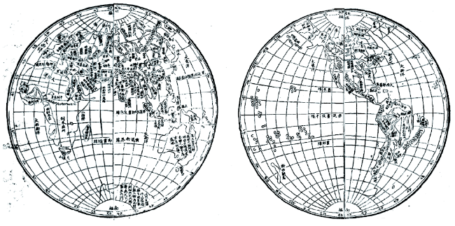
Fig. 2 The map showing the whole surface of earth图2 地球正背面全图 |
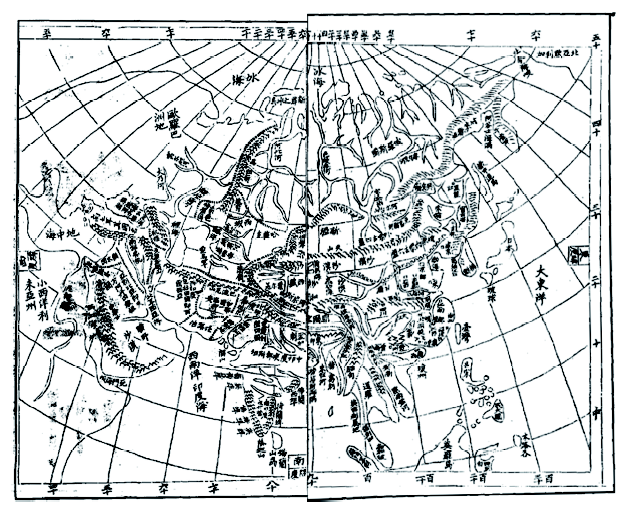
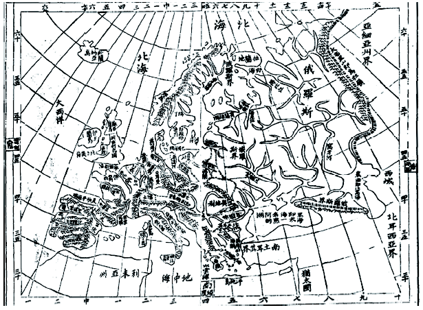
Fig. 3 Map of Asia图3 亚洲全图 |
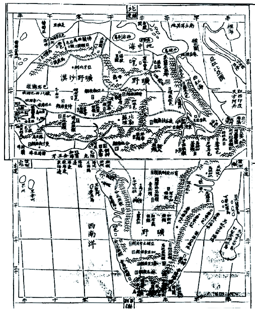
Fig. 4 Map of Africa图4 非洲全图 |
Fig. 5 Map of Europe图5 欧洲全图 |
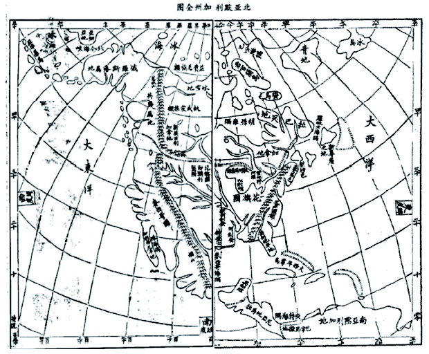
Fig. 6 Map of North America图6 北美全图 |
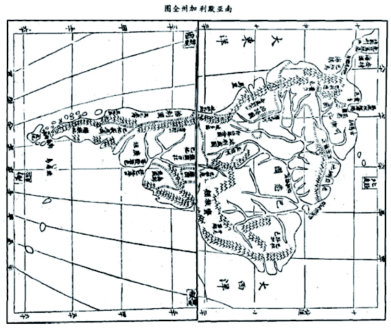
Fig. 7 Map of South America图7 南美全图 |
The authors have declared that no competing interests exist.
| [1] |
[
|
| [2] |
[
|
| [3] |
[
|
| [4] |
[
|
| [5] |
[
|
| [6] |
[
|
| [7] |
大谷敏夫. 《海国图志》对“幕末”日本的影响[J].海国图志与中日文化交流研究,1985:51-58.
[
|
| [8] |
[
|
| [9] |
[
|
| [10] |
[
|
| [11] |
[
|
| [12] |
[
|
| [13] |
[
|
| [14] |
[
|
| [15] |
[
|
| [16] |
|
| [17] |
[
|
| [18] |
[ Zhang A F. Discussing the compiling characteristics of “Haiguo Tuzhi” of Wei yuan[J]. Journal of Huaiyin Normal University, 2012, 34(3):356-360. ]
|
| [19] |
[
|
/
| 〈 |
|
〉 |